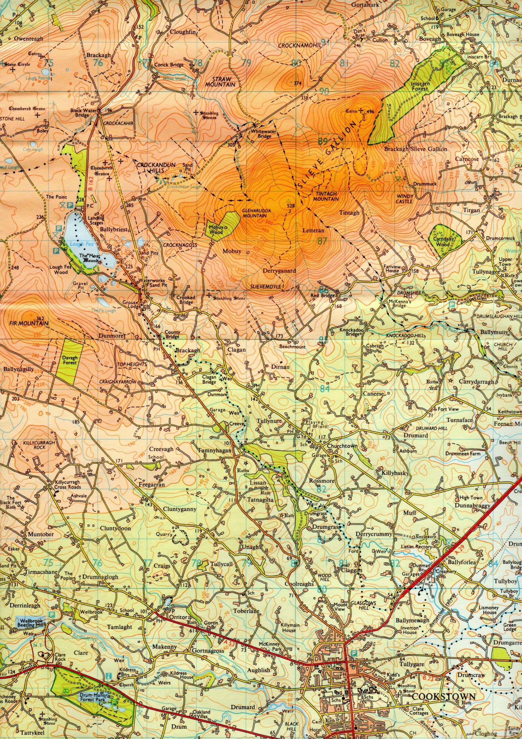
Courtesy Ordnance Survey of Northern Ireland, The Sperrins, Sheet 13.
Ordnance Survey of Northern Ireland, The Sperrins, Sheet 13. Knockadoo Hill and Bridge north of Cookstown
The Willoughby map (Plan)
James Reid’s Lots 30 & 34 Sydney St. Willoughby, NSW.
The Willoughby map (Plan) : James Reid’s Lots 30 & 34 Sydney St Willoughby, NSW.
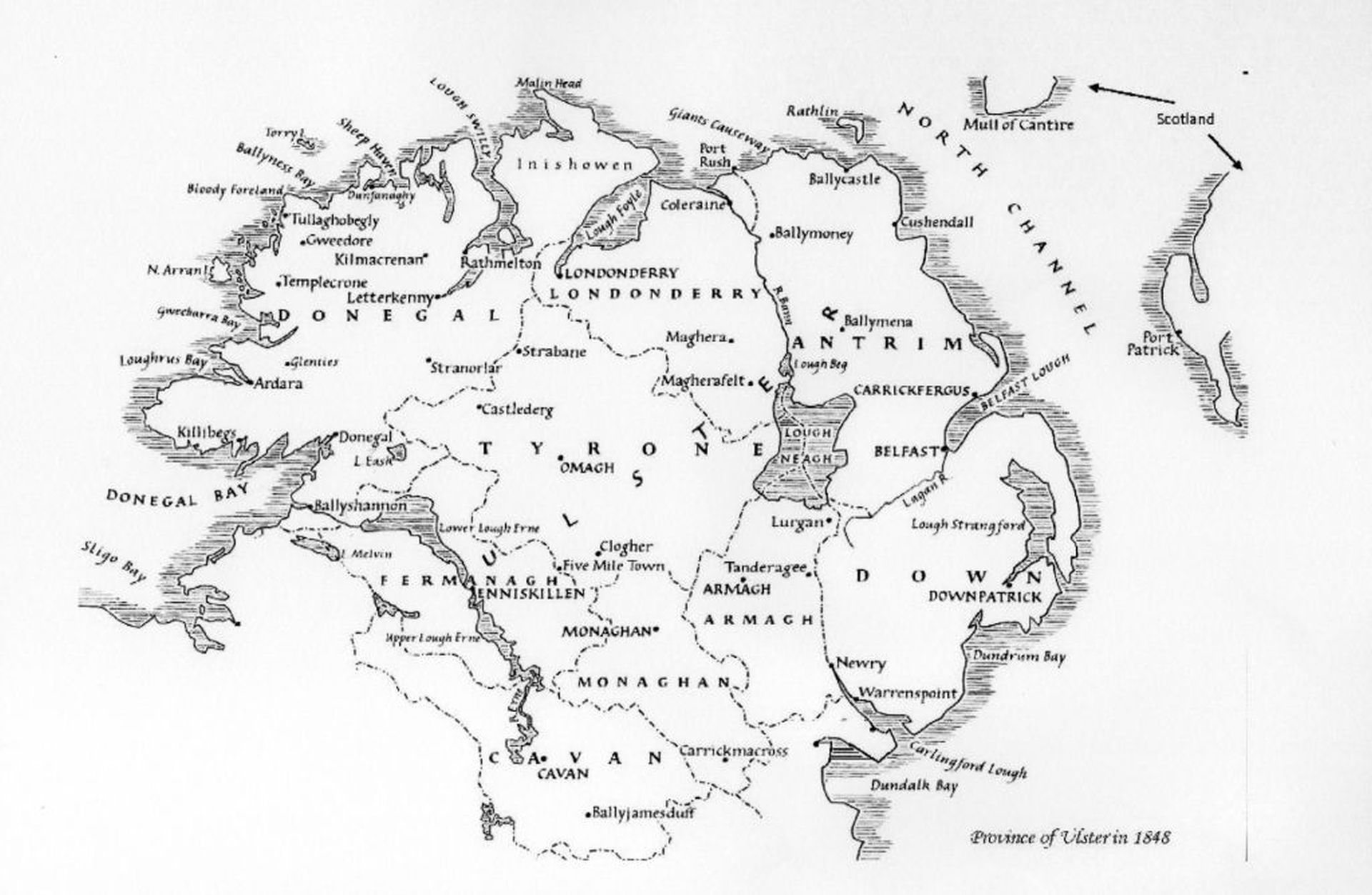
Province of Ulster 1848
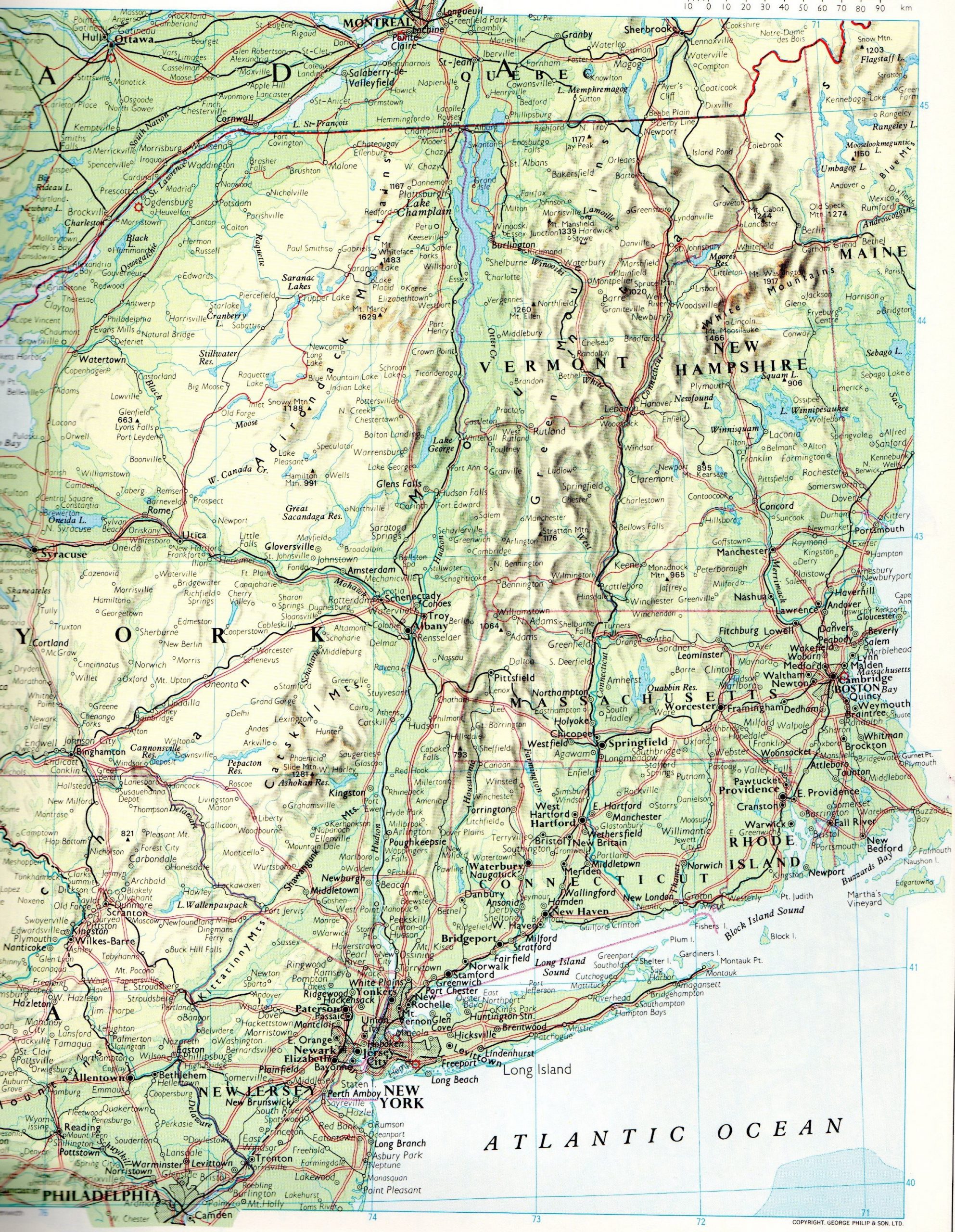
Grand Isle Alburg Vermont USA
Courtesy of Philips’ Atlas of the World, pub. 1989, George Philip Ltd
Grand Isle Alburg Vermont USA. George Sloan Reid (Reed) lived here in 1835 right on border with Canada.
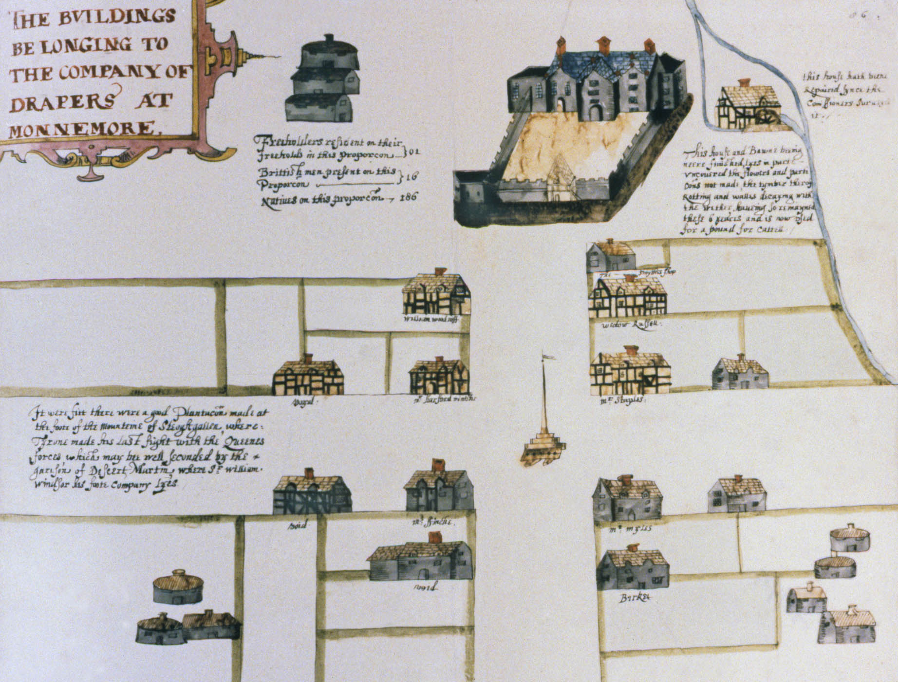
Map Of Drapers Company Buildings Monnemore (sic) c.1630
Map of Drapers Company Buildings, Monnemore (sic) c.1630, showing the houses of Sir Thomas Staples & Mr. Barker. Courtesy of The Great Parchment Book website www.greatparchmentbook.org